
Image Genetics: Astronomy Visualization Metadata (AVM)
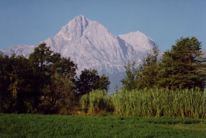
A random image of a mountainous landscape may be beautiful, but without some context and background information, i.e. metadata, you will likely have no idea where in the world the picture was taken, or even exactly what it is that you're looking at. Questions such as "How tall is that mountain?" "How far away is it from the photographer?" or "Where and when was this picture taken?" are all virtually impossible to answer just by looking at the image. Modern digital cameras equipped with GPS tagging devices automatically answer a lot of these questions and place that information right into the image file as "header data" as soon as the picture is taken. Even without fancy image tagging devices, highly motivated photographers can now use standard photo editing software to modify an image's header information with relevant metadata. Armed with this additional information, the image can be shared across many platforms and, in this example, integrated into mapping tools such as those provided by Google and Microsoft (Bing).
This same process is now used by public outreach astronomers to provide a deeper context to the myriad astronomical images continually being produced by the world's observatories. The effort to embed images with relevant metadata is due in large part to the work of the Virtual Astronomy Multimedia Project (VAMP), the team who developed the AVM standard and the tools to implement it. Using AVM, we can encapsulate all of the information that is normally displayed along with an image when it is released and embed it directly in the image. As it is shared across the internet, this additional contextual information is always a few clicks away. Coordinate information provided by AVM can be utilized to display images in their proper location in the sky using tools like GoogleSky and Microsoft's Worldwide Telescope, with little effort on the part of the user. Search tools designed to work with AVM keywords can be used to quickly and accurately find the images you're looking for. In short, AVM is essentially the DNA of an image and is every bit as important as the pixels that comprise it.
This video and podcast steps through the process of adding metadata to Chandra images:

Revised: July 07, 2023